

Frequently asked questions.
What are critical areas?
Wetlands
Wetlands are areas that are inundated or saturated by surface water or groundwater and support a prevalence of vegetation adapted for life in saturated soil conditions. Wetlands assist in the reduction of erosion, siltation, flooding, and groundwater and surface water pollution, and provide wildlife, plant, and fisheries habitats.
Critical Aquifer Recharge Areas
Critical aquifer recharge areas have a critical recharging effect on aquifers used for potable water, including areas where an aquifer that is a source of drinking water is vulnerable to contamination that would affect the potability of the water or is susceptible to reduced recharge.
Frequently Flooded Areas
Frequently flooded areas are lands within the floodplain subject to at least a 1 percent or greater chance of flooding in any given year, or within areas subject to flooding due to high groundwater levels.
Geologically Hazardous Areas
Geologically hazardous areas are susceptible to erosion, sliding, earthquakes, and other geological events. Development is not suitable in these areas due to public health or safety concerns. In Whitman County, geologically hazardous areas on agricultural lands are mostly erosion hazards due to wind and water erosion.
Fish and Wildlife Habitat Conservation Areas
Fish and wildlife habitat conservation areas are lands and waters that are managed in order to maintain populations of fish and wildlife species in suitable habitats within their natural geographic distributions. This management occurs over the long term and within connected habitat blocks and open spaces.
The VSP Work Plan details how Whitman County will protect critical areas within areas where agricultural activities are conducted while maintaining and enhancing the viability of agriculture.
Protection in terms of the VSP means to prevent the degradation of critical areas’ functions and values that existed when VSP legislation was passed, on July 22, 2011.
Direct Seed / No-till Seeding
Precision Agriculture
Nutrient / Pest Management
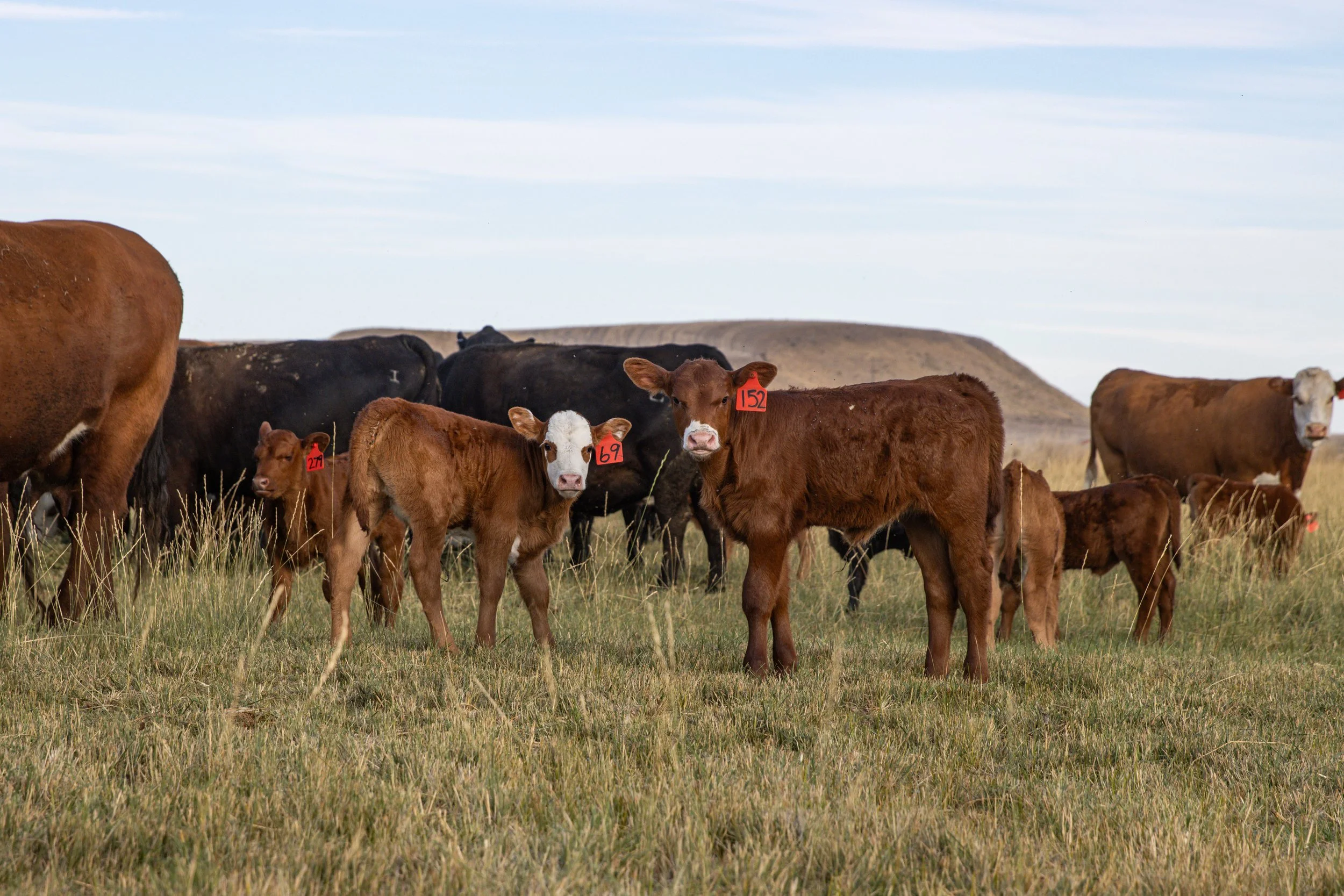
Grazing Management
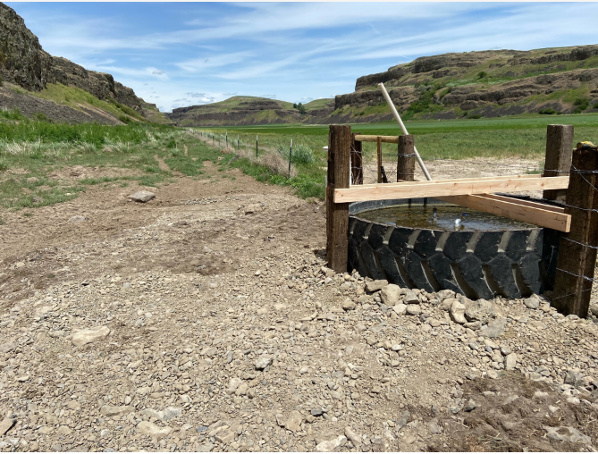
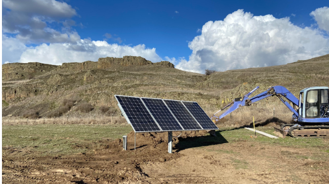
Alternative Water Development
Manure Management Structures
Buffers
Riparian Plantings
Streambank Protection
What practices protect or enhance critical areas?


What is meant by the “baseline conditions”?
The effective date of the VSP legislation is July 22, 2011.
This is the date used for identifying the baseline for protecting critical areas function and agricultural viability. This date also represents the switch between regulatory critical area protection and voluntary-based critical areas protection and enhancement for counties that have opted into the VSP.
What is the “Protect Critical Areas” test?
The Work Plan details how Whitman County will protect critical areas while maintaining and enhancing the viability of agriculture in the watershed through the VSP.
The definition of protection in the legislation for the VSP indicates that “Protect” or “protecting” means to prevent the degradation of functions and values existing as of July 22, 2011.
What does it mean to “Create and Meet Protection and Enhancement Benchmarks”?
VSP requires the creation of measurable benchmarks that are designed to protect and enhance critical area functions and values through voluntary actions by agricultural operators. Protection requires prevention of the degradation of functions and values of baseline conditions (conditions existing as of July 22, 2011 when VSP legislation was passed). Enhancement means to improve the processes, structure, and functions of baseline conditions for ecosystems and habitats associated with critical areas (RCW 36.70A.703).
In addition to benchmarks for critical area functions, the Work Plan must also include benchmarks for promotion and implementation of voluntary stewardship actions designed to protect and enhance these critical area functions.
Failure to meet the goals and benchmarks for critical area functions will represent failure of the Work Plan and trigger a regulatory approach to critical areas protection under the Growth Management Act (GMA).
What does it mean to “Maintain and Enhance Agricultural Viability”?
To receive approval, the VSP Work Plan must maintain and enhance agricultural viability (RCW 36.70A.725).
For instance, the primary method of promoting critical area functions must be through voluntary stewardship actions. VSP will not require an agricultural operator to discontinue agricultural activities that legally existed before July 22, 2011 (RCW 36.70A.702).
Additionally, VSP does not give counties or state agencies any additional authority to protect critical areas on lands used for agricultural activities (RCW 36.70A.702). To promote producer participation and productive decision-making among Work Group members, VSP prohibits the creation of new County-wide critical area regulations related to agricultural activities during the VSP process (narrow exceptions apply; RCW 36.70A.130[8][a]). Further, nothing in VSP requires participation from agricultural operators; participation is voluntary.
However, failure to meet the goals and benchmarks for critical area functions will represent failure of the Work Plan and trigger a regulatory approach to critical areas protection under the GMA.